- Home
- »
- ...
- »
- Planning & Development
- »
- LCATS
- »
- Active Transportation
Active Transportation
In order to preserve the traditions and plan for the future of Hanover Village, we are excited to announce that the Village of Hanover is developing an Active Transportation Plan (ATP) to enhance walking and biking facilities within the region. The ATP centers around connecting the heart of Hanover to the surrounding townships by means of bike paths, sidewalks, trails, pedestrian tunnels and bridges. The intent is to highlight our natural resources and to create the opportunity for people to get outside and engaged in a healthy lifestyle, while following responsible development as dictated by the Village’s Comprehensive Plan, Forward Together. Your involvement is vital for this initiative, as it will shape the future of our community by identifying priority projects and expressing the community's needs as the Village seeks funding for improvements. The ATP is being steered by local stakeholders and produced by the Licking County Area Transportation Study (LCATS), but would not be a community plan without including your voices!
We have completed the public engagement portion of this planning process and are working towards summarizing all the input we received and drafting the plan. Check back for a look at the draft later this summer!
Questions?
Contact Wil Lloyd at 740-670-5215 or [email protected] if you have any questions or require assistance with the survey.
Active transportation is human-powered transportation that engages people in healthy physical activity as they travel to their destinations. Active transportation tends to be combined with public transportation for longer distances.
Benefits
Active Transportation is a great way to exercise, thereby reducing the risks and health detriments associated with obesity, such as heart disease, diabetes, and high blood pressure. Exercise has also been proven to improve mental health and lower stress. It also benefits the environment by reducing motor vehicle emissions and pollutants, while sparing the user fuel costs and reducing vehicle maintenance costs.
What is active transportation planning?
Active Transportation Plans (ATPs) are documents that provide a roadmap for improved walking and bicycling conditions (as well as other alternative forms of active transportation where they apply). The planning process includes steps for gathering input, building community support, and lays the groundwork for funding and implementing a wide variety of projects, programs, and policies. ATPs can take place at the regional, county, city, village, or neighborhood level. Plans may also address access to transit through active travel models.
Why is active transportation planning important?
- To connect people to everyday destinations (work, school, grocery stores, doctors, etc.)
- To provide facilities that enable residents to walk and bike safely
- Improved mobility options/connections to improve healthy living opportunities
- To make the community more convenient and accessible for walkers and bikers
- To provide residents with options for getting around other than by a personal vehicle
- A need to extend our connected shared-use/bike paths with on-street bicycle and pedestrian facilities
See our previous active transportation planning projects:
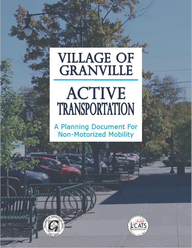
Granville Active Transportation Plan
Granville Village Planners worked closely alongside LCATS to craft a plan that represents Granville's needs and desires for stronger community connections and safety improvements to ensure a healthy walkable and bikeable town for future generations to enjoy as much as present generations do. See the plan by clicking on the cover image below!
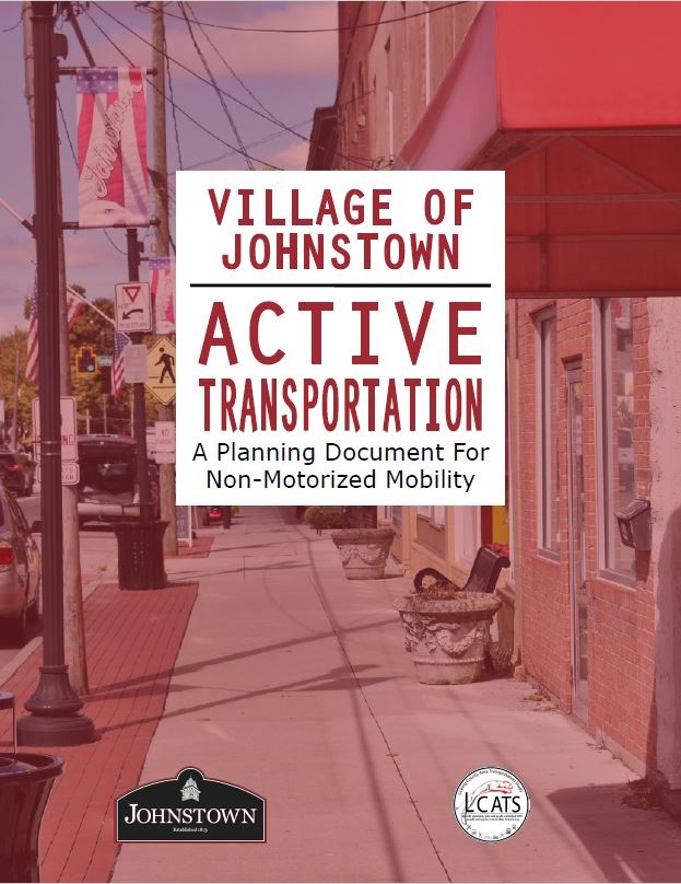
Johnstown Active Transportation Plan
LCATS worked alongside the Village of Johnstown to create an active transportation plan that will assist Johnstown in creating a more walk-able and bike-able environment for citizens. These efforts built upon the existing infrastructure and plans of the Village and will be beneficial to secure funding to implement improvement projects. Take a look at the plan by clicking the cover image below!
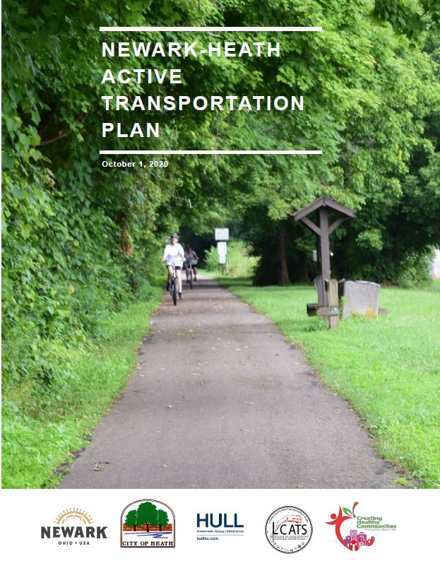
Newark-Heath
We collaborated with the Licking County Health Department and Cities of Newark and Heath to create an Active Transportation Plan and draft an improved bicycle and pedestrian network for Newark-Heath. These plans include several demonstration projects in the near future. The final plan can be viewed by clicking the cover image below!
Explore these links for more local information related to active transportation:


